I’ve got this program i’ll share later that allows you to take a 2:1 image and have it inverted upon itself using a bunch of maths. I’ve been able to use it in the past to warp world maps with various data into different projections. Using this same program, I can generate the images shown below.
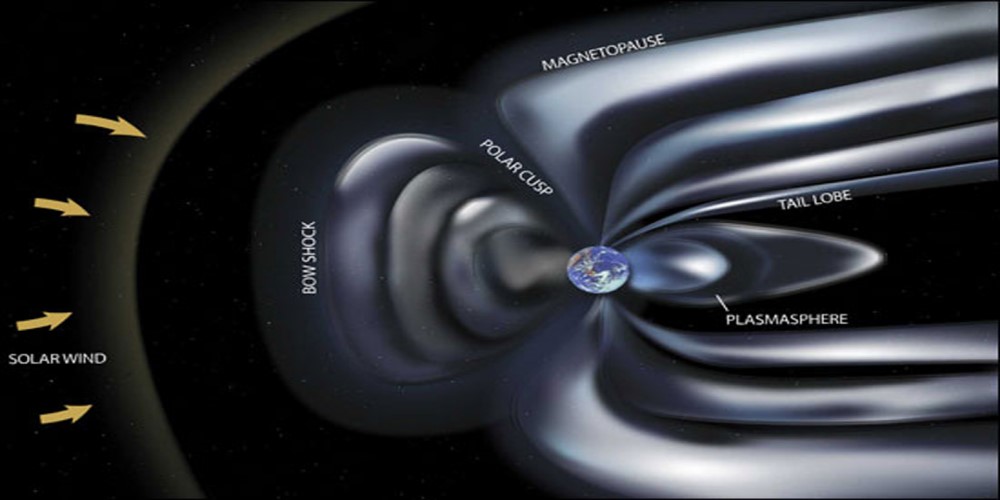
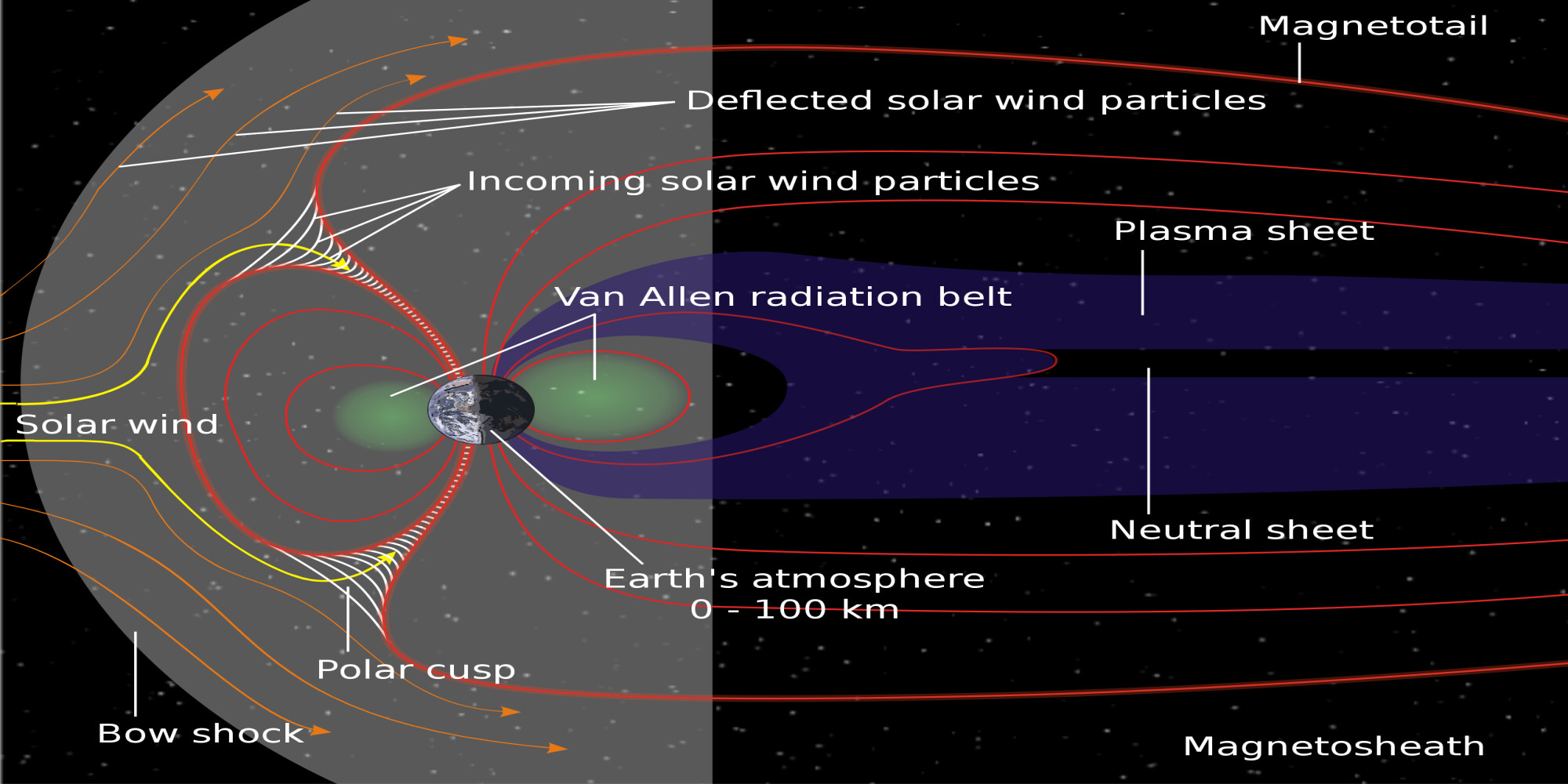
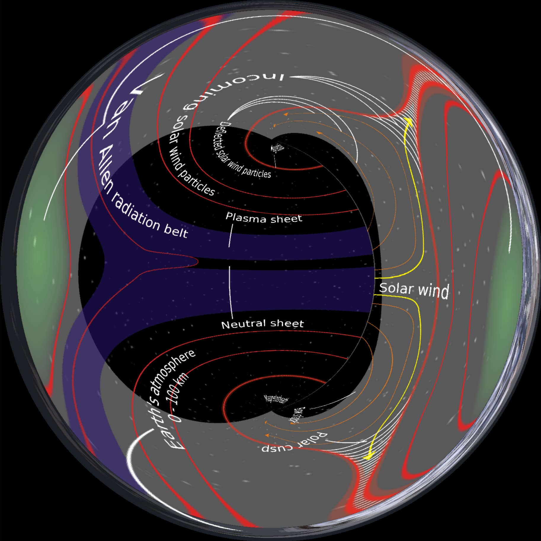
First is magnetosphere
Original image
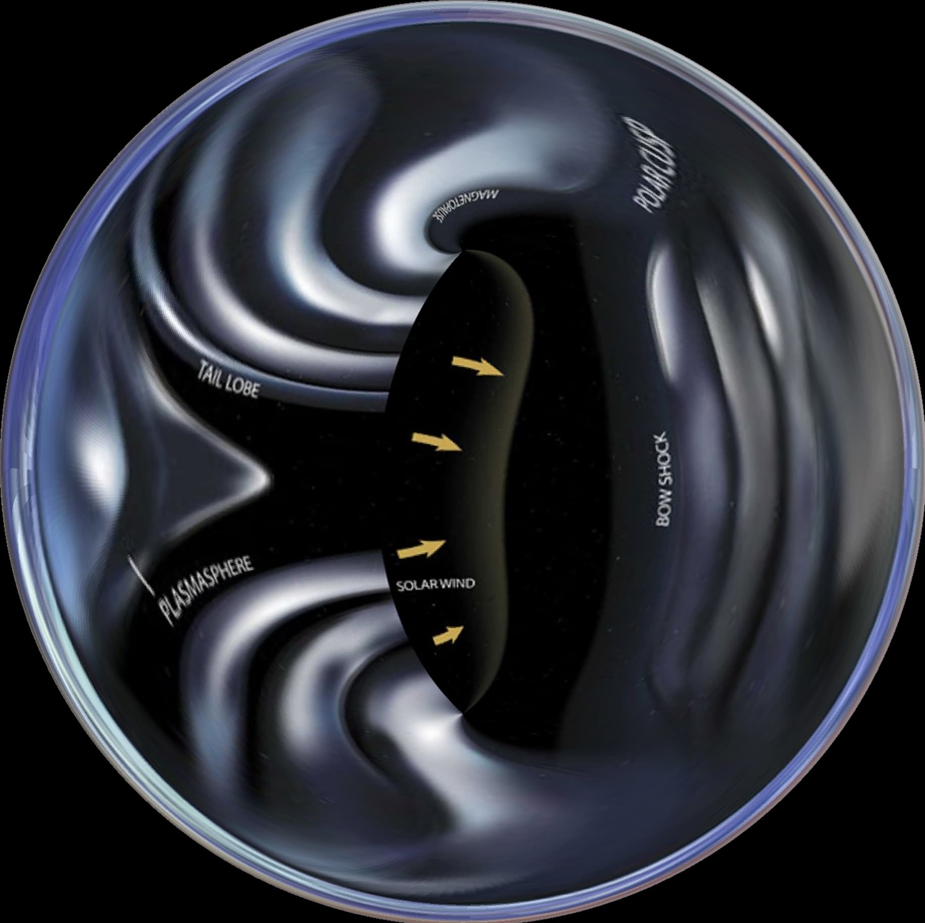
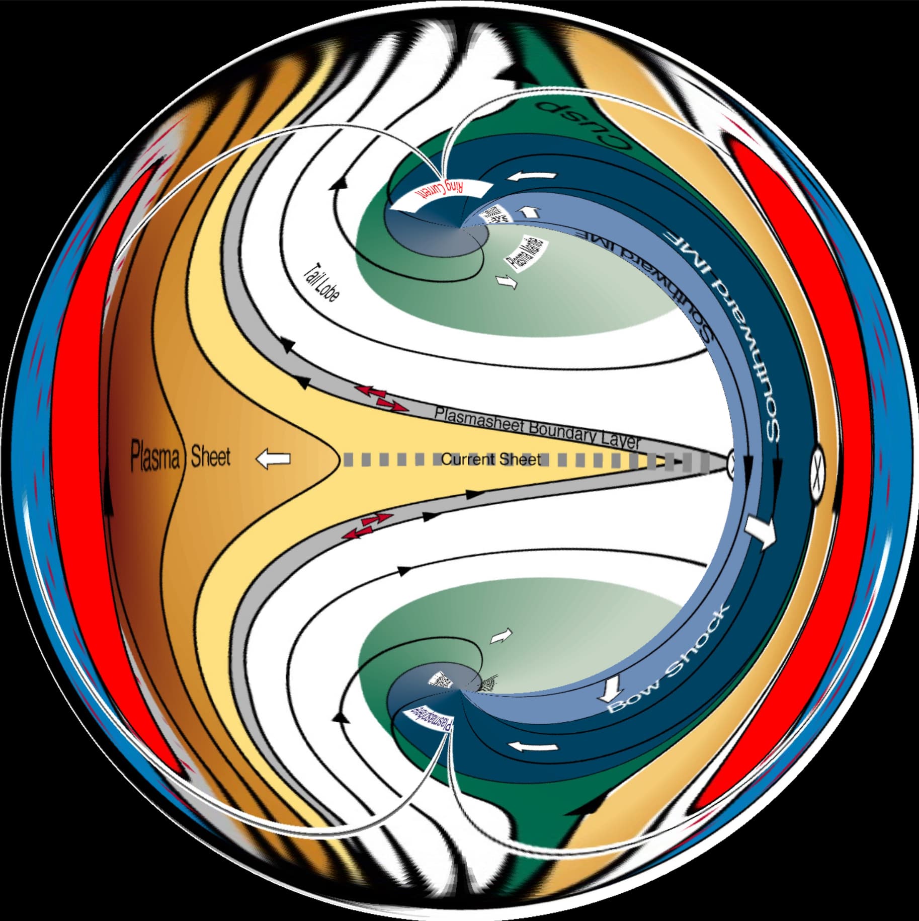
Modified
Original image
Modified
Original image
Modified
Original image
Modified
Interesting to look at …
1 Like
Great find!
I’ve been studying the magnetosphere effects on the water vs land morphology over time. Not sure if it means the actual octahedron movement or the superfluid within the celestial sphere that causes the poles to drift around. I imagine it is due to superfluid aether properties similar to how it slows light feeding into the sun and returning at the moon.
Being able to transform the up scaled distances and spherical coordinates will be hugely helpful in understanding the dynamics happening at different layers.
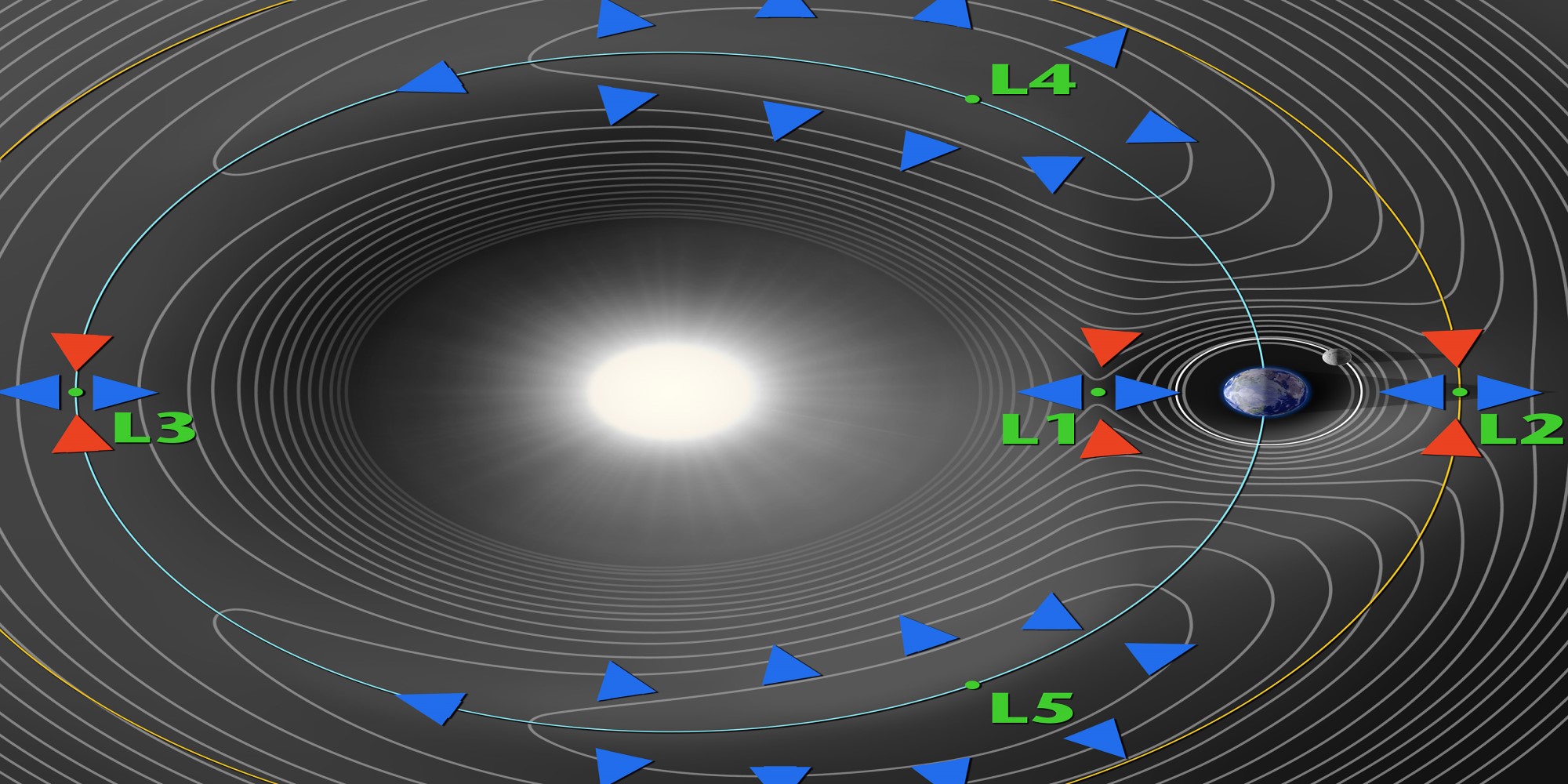
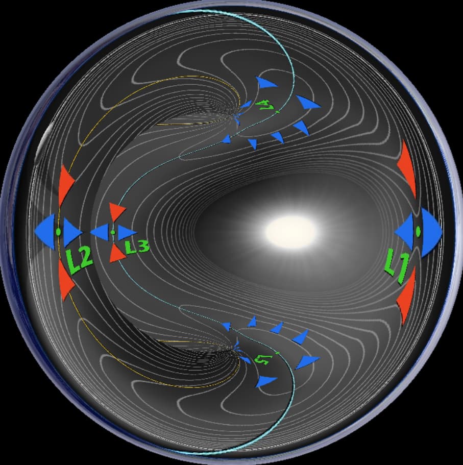
LeGrange Points in Concave Earth
Globe LeGrange Reference
Concave LeGrange
(The celestial sphere would be in the center, the sun orbiting around it.)
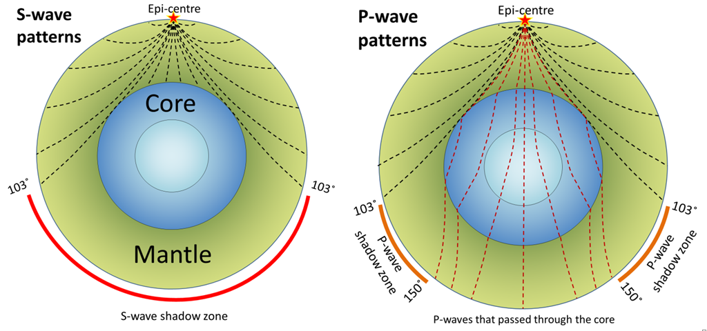
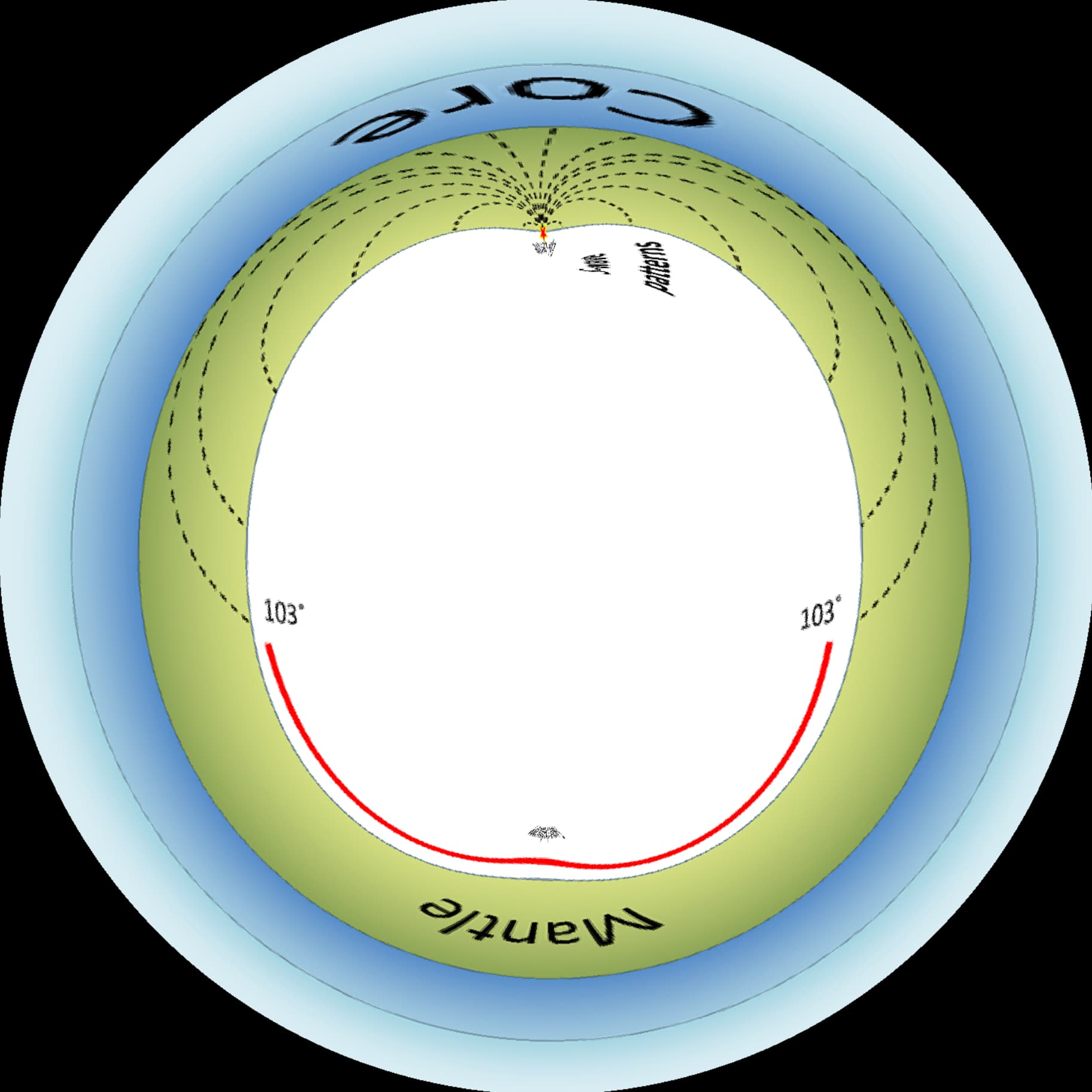
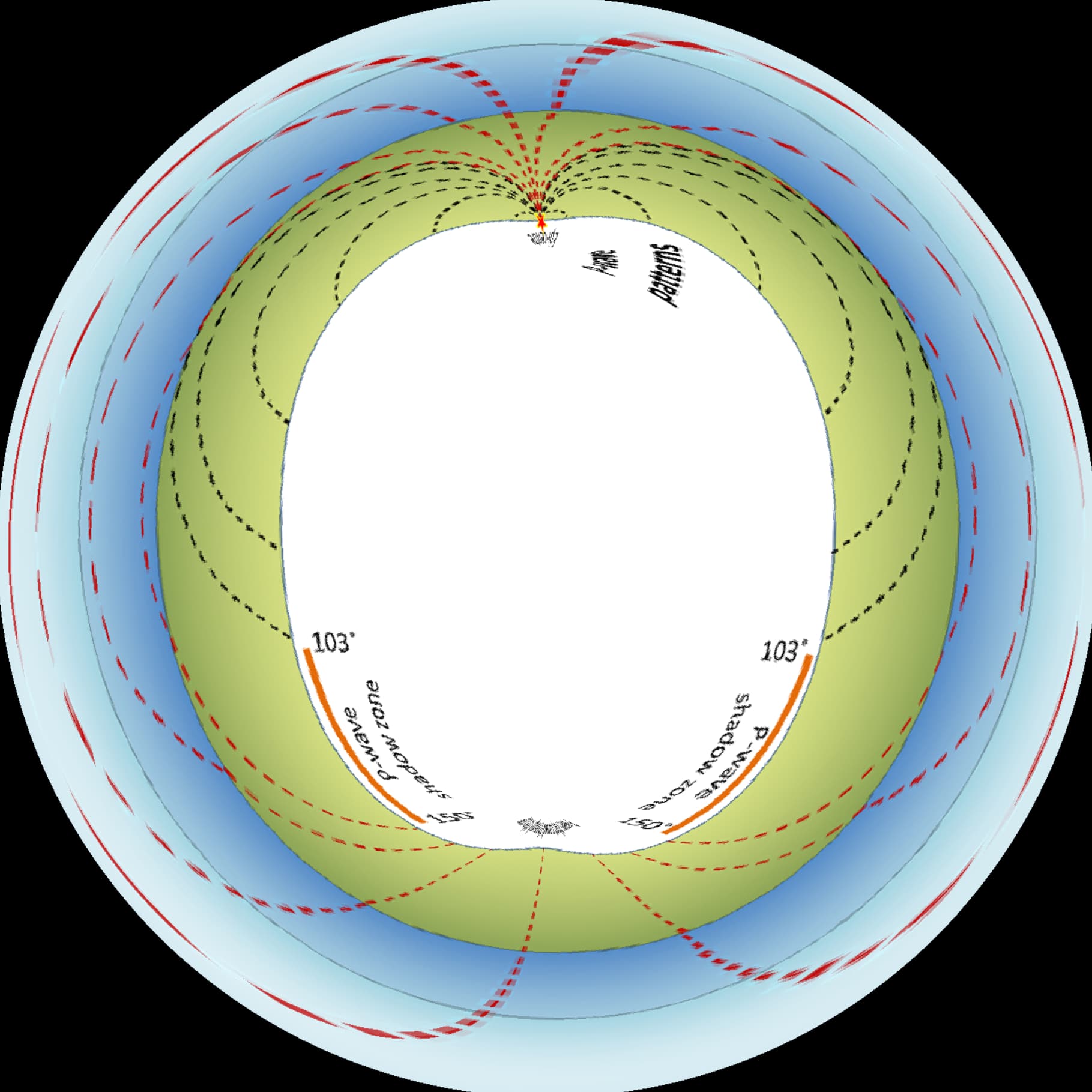
Was able to warp this diagram to show P-Wave and S-Wave inverted upon itself to show a preview of how it may look inside of concave earth. Take the info below with a grain of salt
S-WAVE
P-WAVE
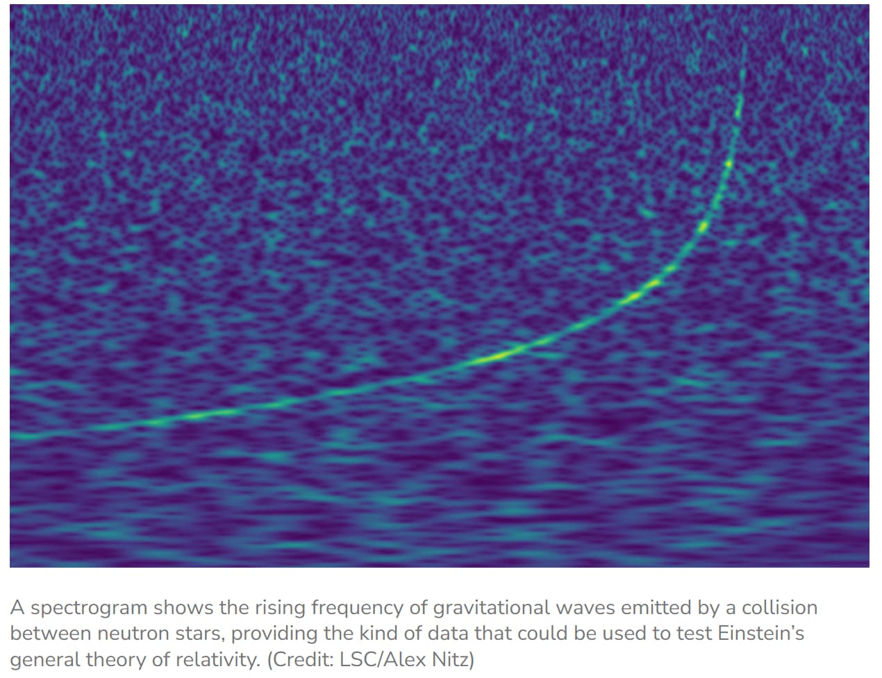
LSC’s Video talking a little about P/S waves
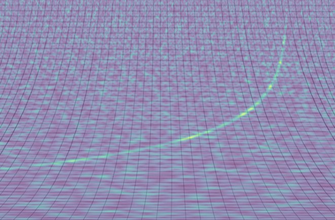
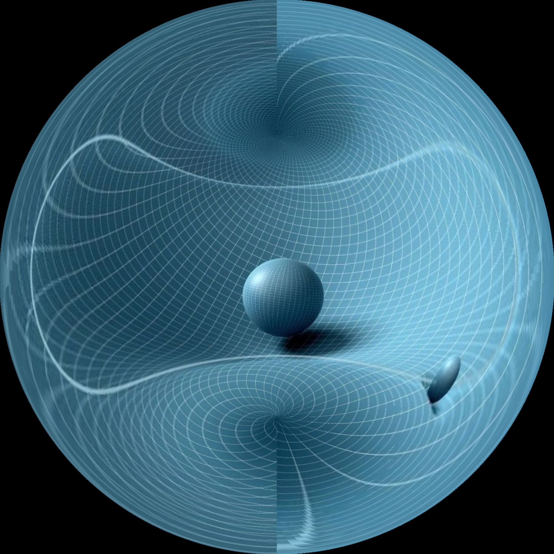
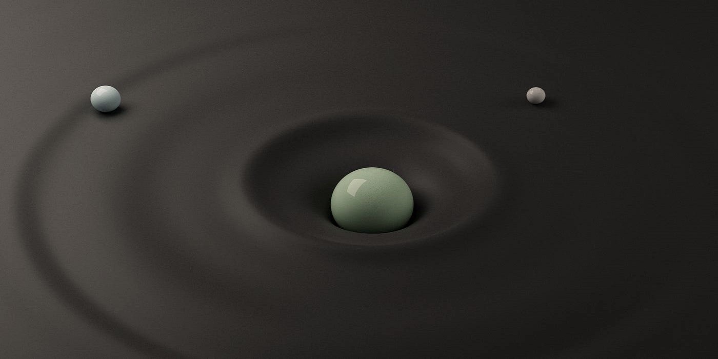
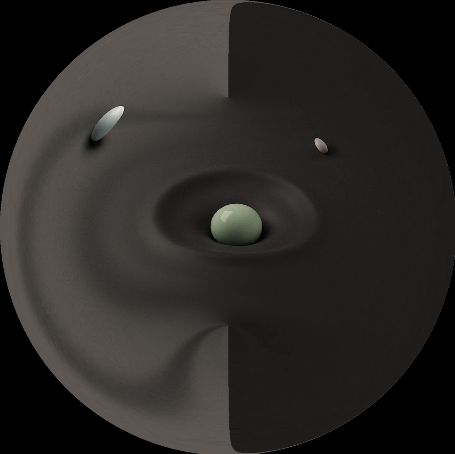
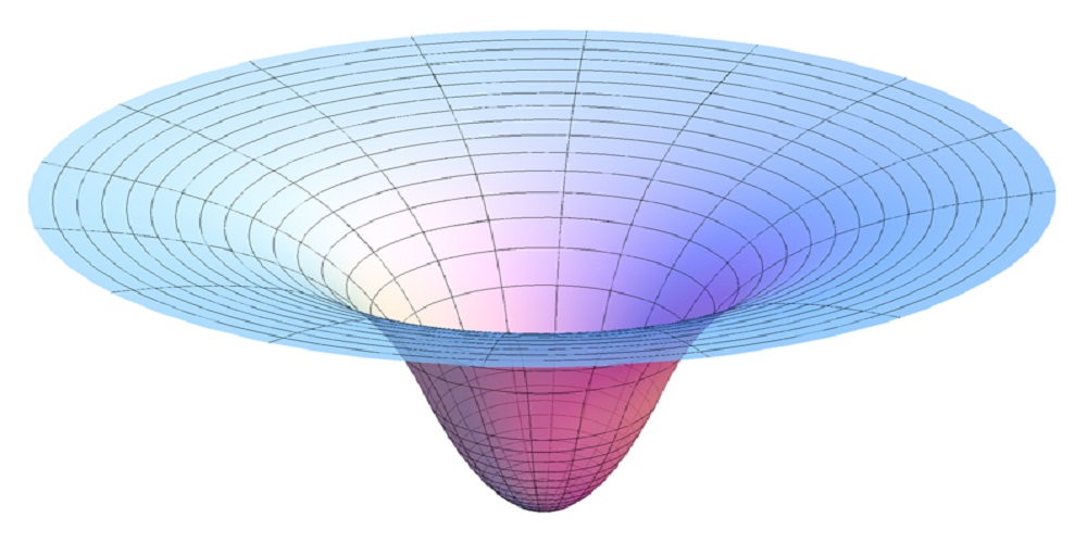
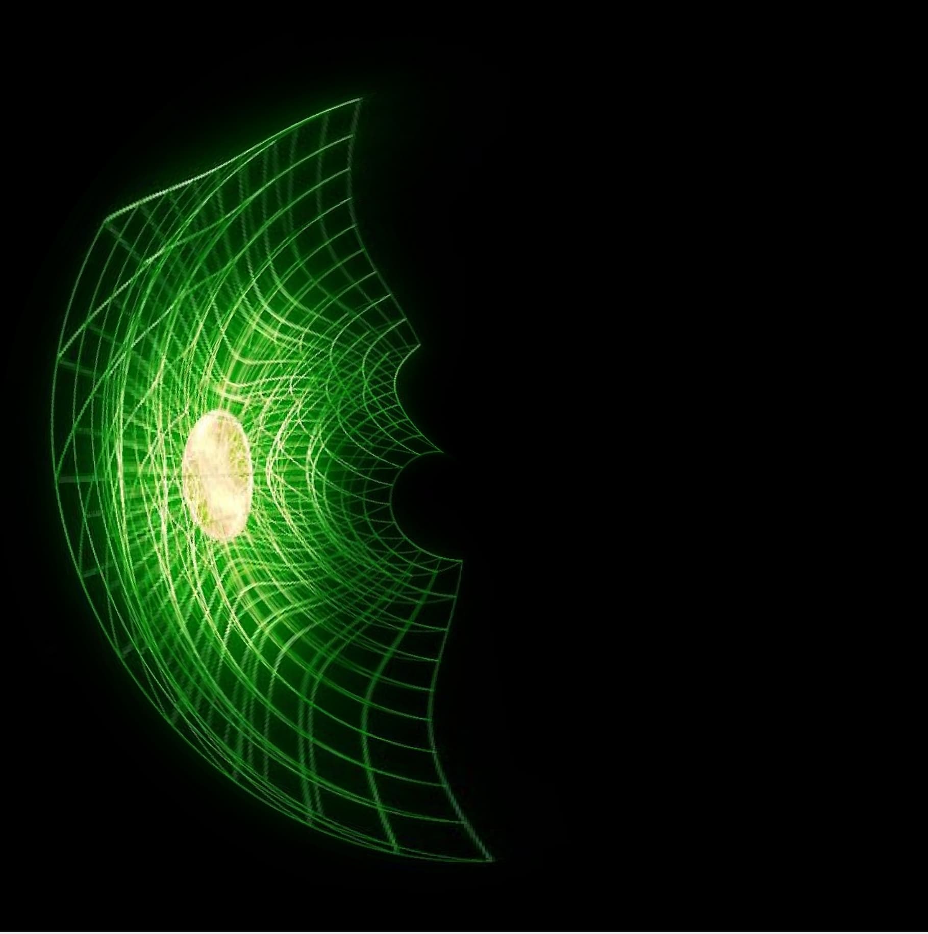
New insight came into me for theorycrafting gravity
This is how science today understands gravity
I have a program that inverts these images with a special mathematical formula
If your eyes haven’t figured out how to properly see this diagram (the second warped image)
It’s a central star/mass , and spacetime curves away outward around it having a hollow interior similar to concave earth?
Maybe you guys can give your take on what you see
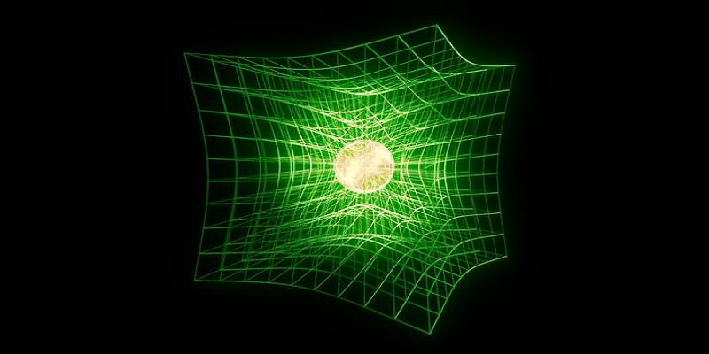
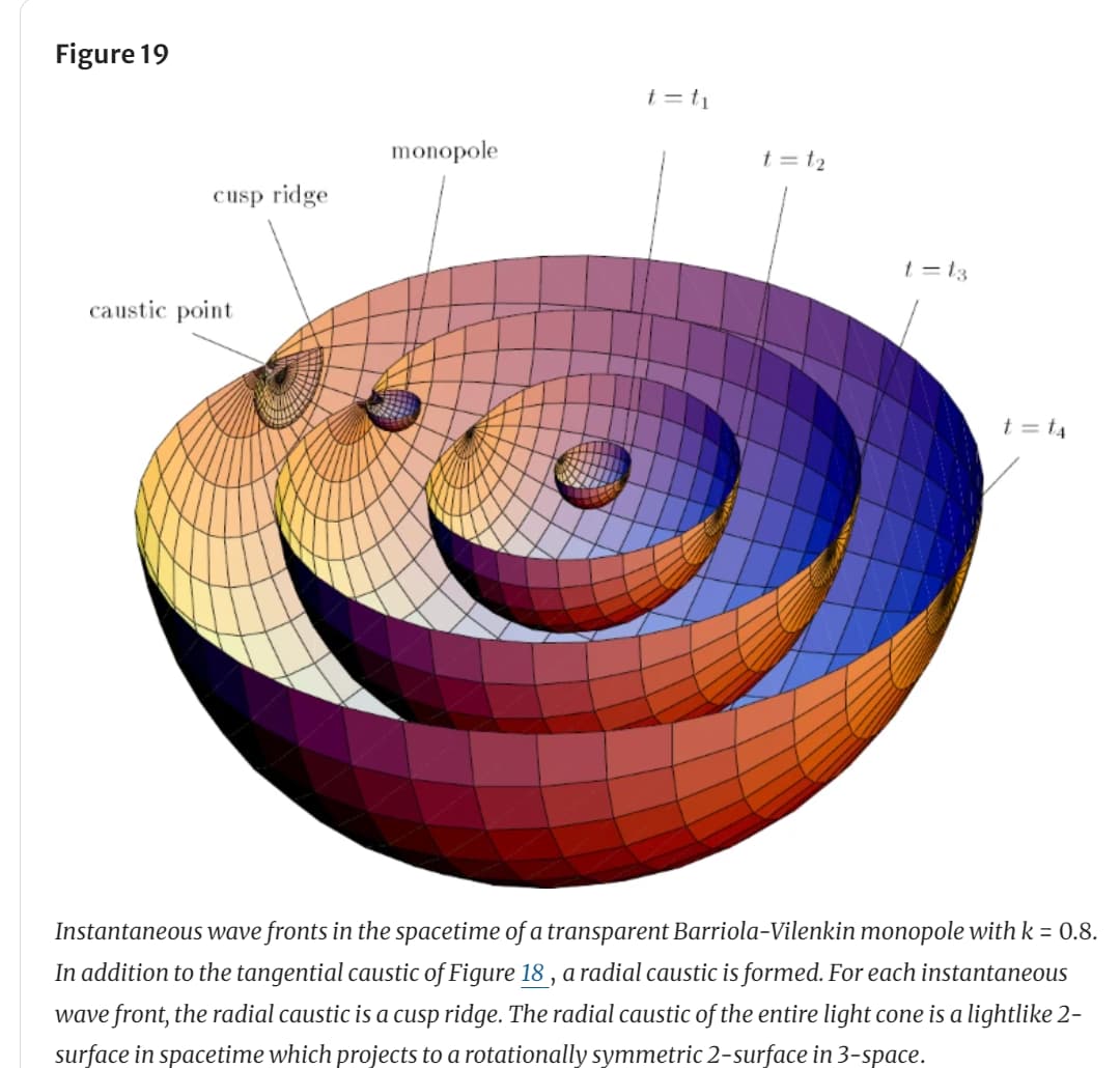
I saw this image/diagram , though I have no understanding of what is being discussed, the diagram kind of seems similar to how it might look?
From Gravitational Lensing from a Spacetime Perspective | Living Reviews in Relativity
Random, I see this image in a new way
I see it as, it wrapping away from you , while inside of a concave surface, curving up and away from the perspective of the reference from (observer)