Here it is without further adieu.
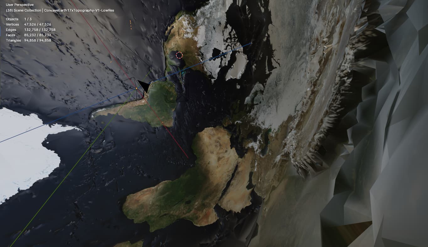
Generated using GIS data with 17x exaggerated elevation multiplier scaled from lowest point Mariana Trench to highest point Mount Everest. Verified after running python scripts to create the mesh. Python scripts are notably still in the script module if anyone wants to play around on their own.
So contains Earth Mesh (Concave topology) and standard Equirectangular earth map applied to the mesh. Also a sphere for round-about ocean level for reference to see above/below sea level topology data.