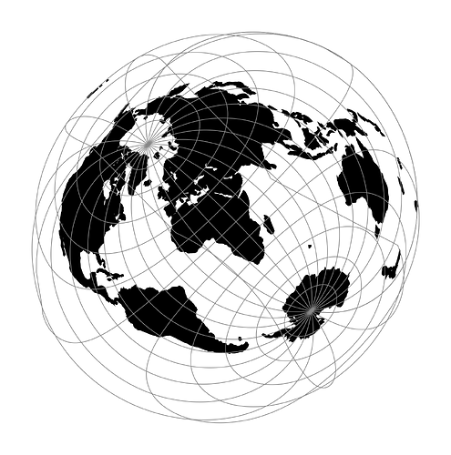
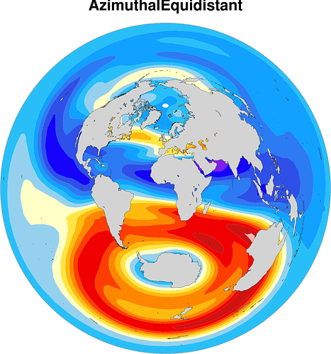
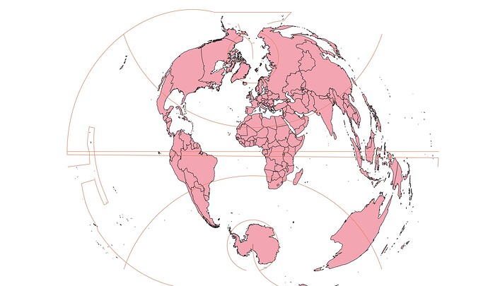
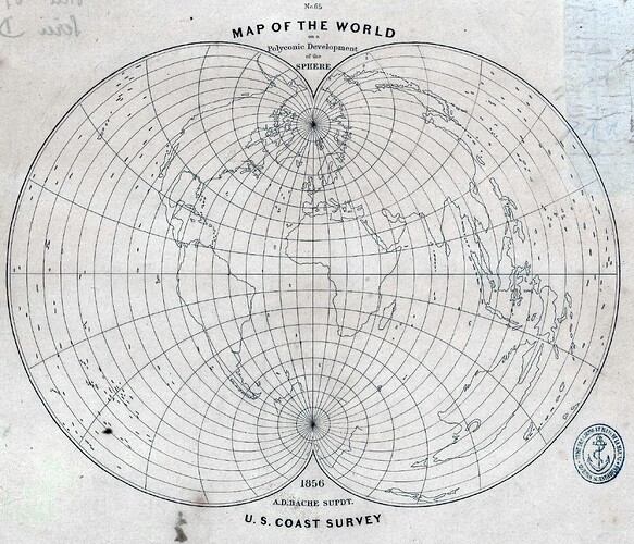
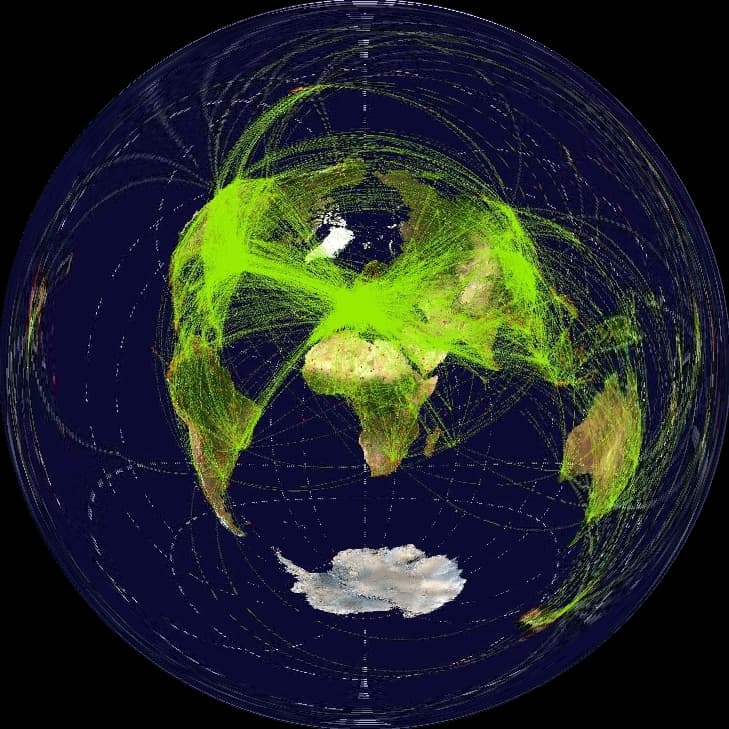
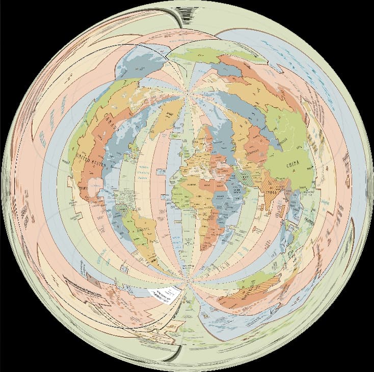
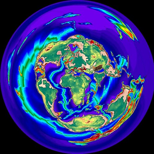
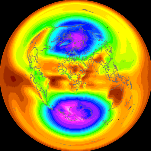
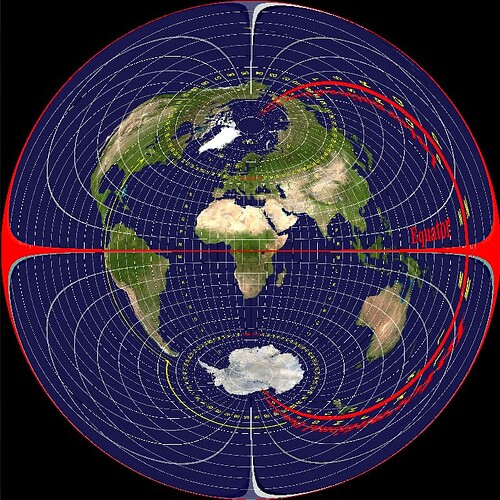
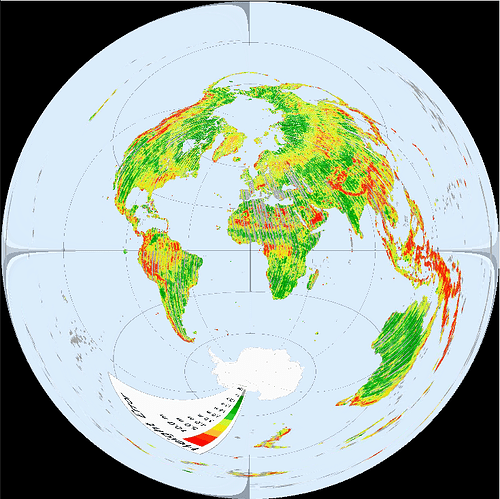
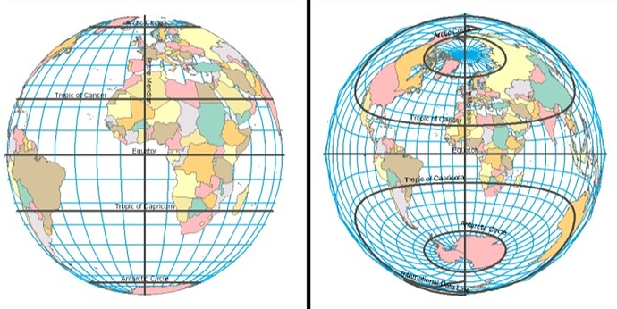
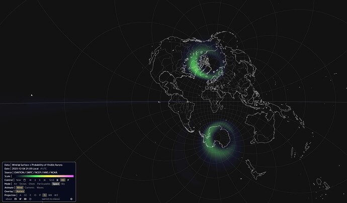
Hello. I wanted this thread to be some information and resources for the flat earth model but with 2 poles. Antarctica is reintroduced. Other variations are Enoch model, APV Angel, and more. Below will be a heavy visual demonstration of this 2 pole model for the flat earth truthseeker.
This model is rare on the internet, hard to find. Most flat earthers never make it to this stage. This version of flat earth simply destroys the mainstream AE model. There’s too many glaring issues with the AE model that this 2 pole model solves. Below is a very short list of some important solutions this model provides for flat earth
It fixes (or, works better than) the AE/Gleason map in some categories below such as:
-
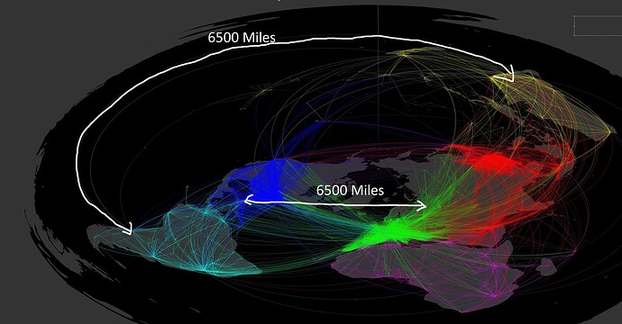
Distances between continents, land masses are 3 point accurate, unlike the AE/Gleason
-
Better continent scale. In the FE AE, everything south of the equator becomes extremely out of scale
-
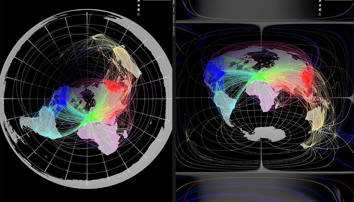
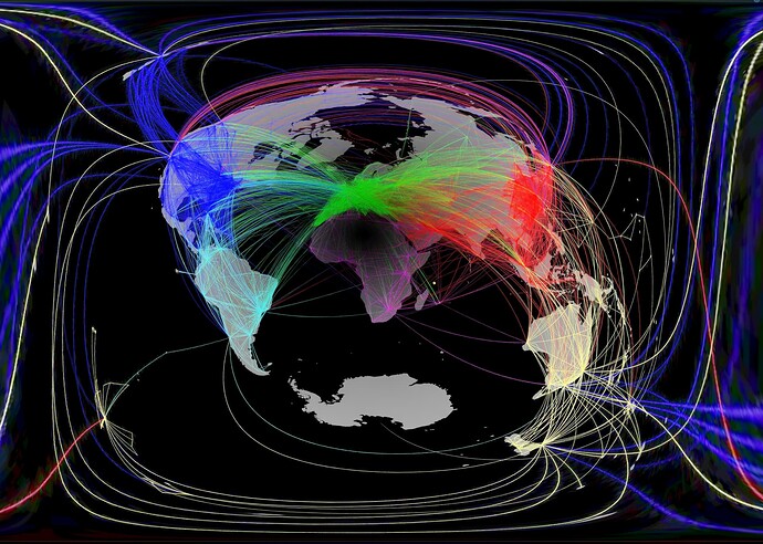
Better flight paths – More linear flight paths , southern hemisphere flight paths closer to reality
-
Fixes shadows. For example, during the vernal equinox.
-
Fixes the southern hemisphere and everything that goes with it basically
-
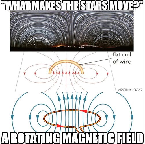
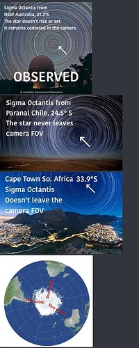
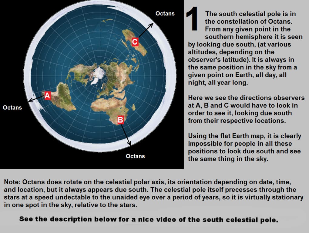
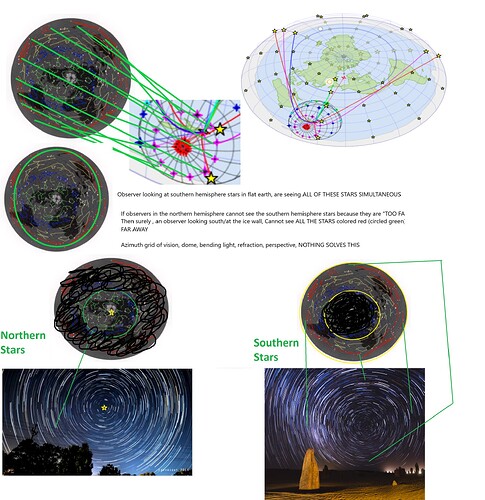
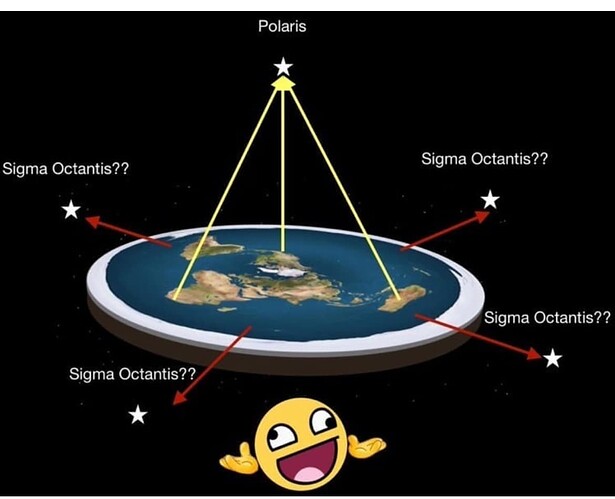
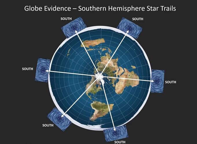
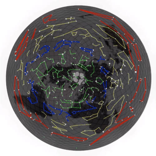
Southern star trails are solved. Not only can it now be modeled, but it can be clearly demonstrated and explaned just as easily as the northern stars are. Per occamz razor, the southern stars 1000% are superior on this model than the mainstream AE model. That model has had since 2015 and it has yet to produce anything toruly demonstrable that works. \
-
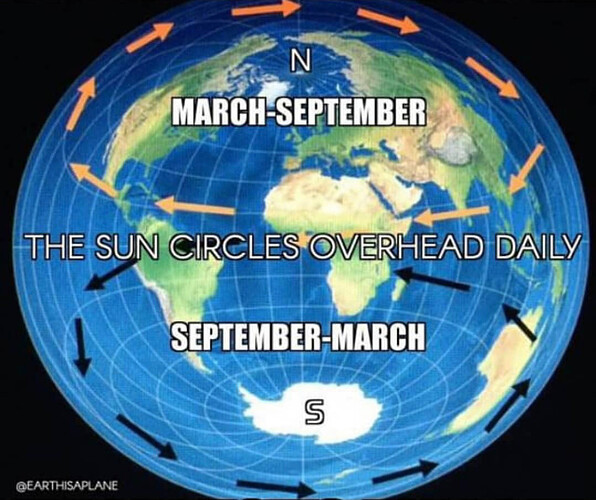
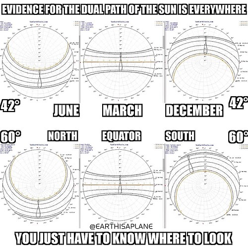
The sun (Sun-Track analogy) issue is solved. The sun in the same 24 hour period and same (Relative speed) orbits vastly different distances of land in a full rotation between season to season. For example, during June Soltice, the sun orbits tropic of cancer in 24 hours. During December Solstice, it orbits tropic of capricorn in 24 hours. The full concentric distance between the tropics are almost 2x as much. The sun’s speed would have to reflect this, which it doesn’t
-
Antarctica is actually a proper continent.
-
Southern hemisphere Tsunamis are fixed. For example when there is an earthquake in new zealand, a tsunami wav goes around antarctica and hits the western side of south america. This can be measured and timed. And the speeds simply don’t work on the AE distances. They work on the dual pole model.
-
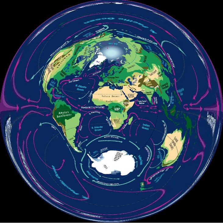
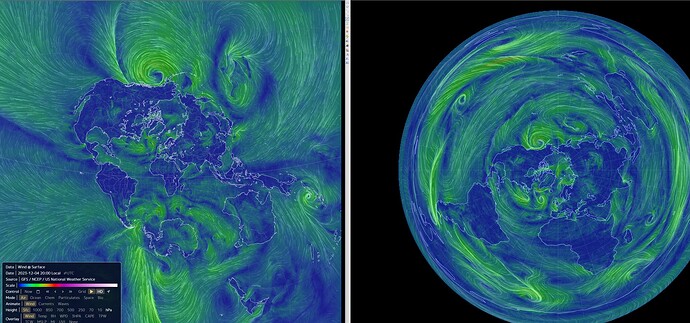
Southern hemisphere wind patterns are fixed
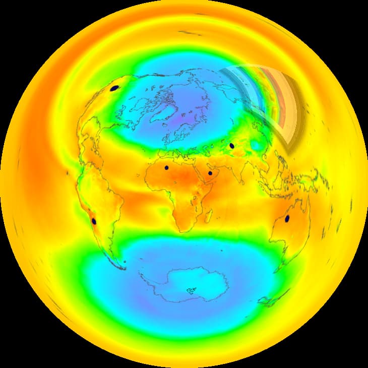
earth :: a global map of wind, weather, and ocean conditions
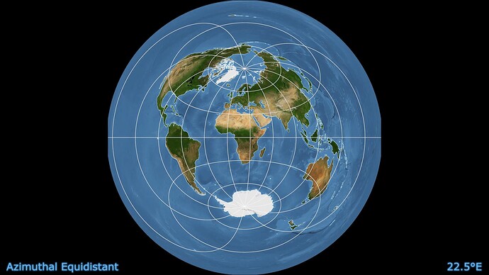
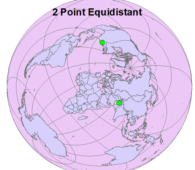
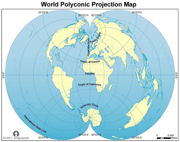
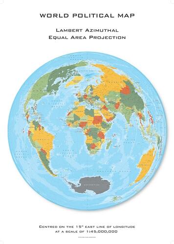
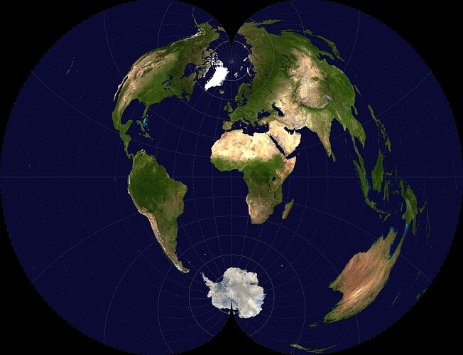
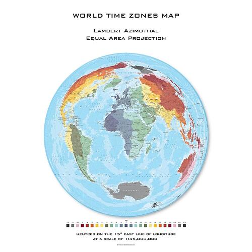
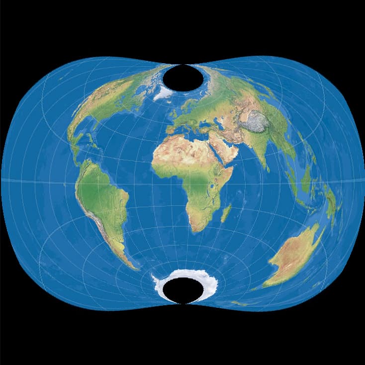
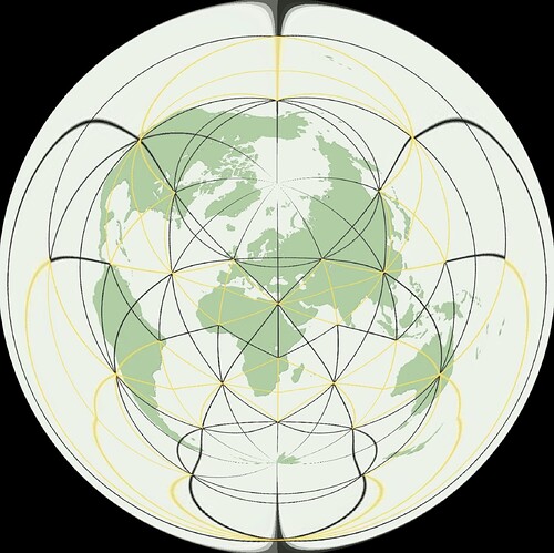
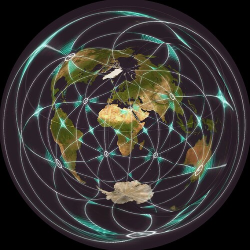
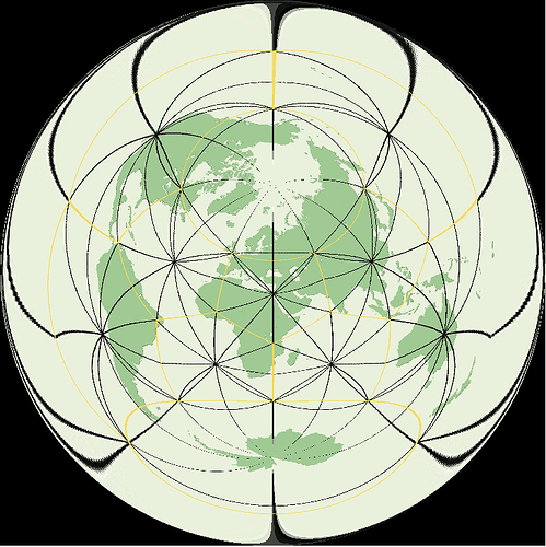
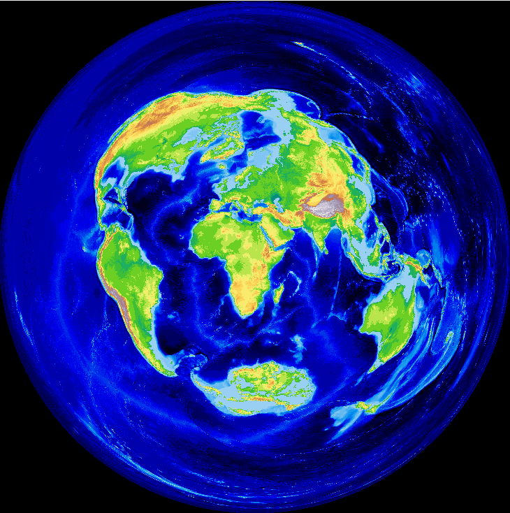
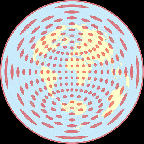
Map Projection : There are a few map projections that produce the layout of the continents in a similar manner.
Chamberlin Trimetric
The Chamberlin trimetric projection is a map projection where three points are fixed on the globe and the points on the sphere are mapped onto a plane by triangulation . It was developed in 1946 by Wellman Chamberlin for the National Geographic Society.
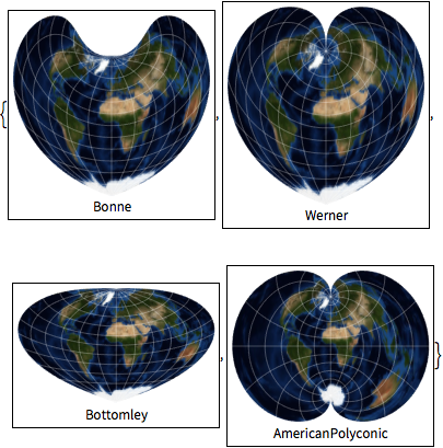
Some other map projections
American Polyconic
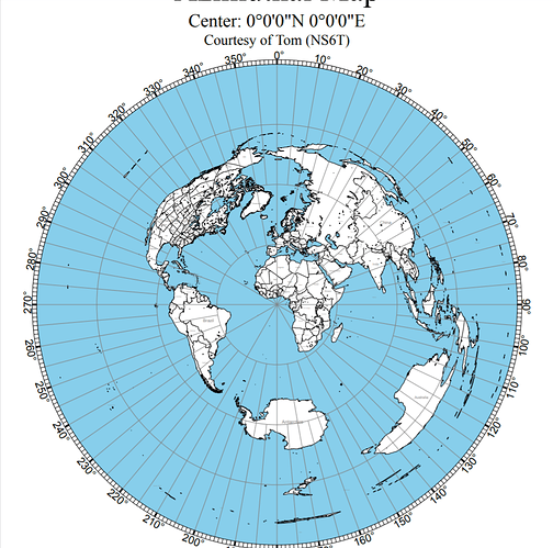
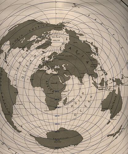
Azimuthal Equidistant
2Point Equidistant
Polyconic Projection
Lambert Azimuthal
AE Centered on 0,0
STREBE 1995
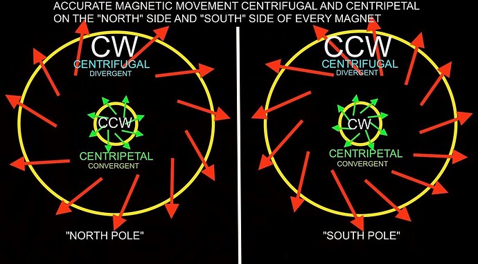
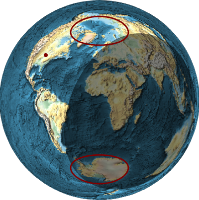
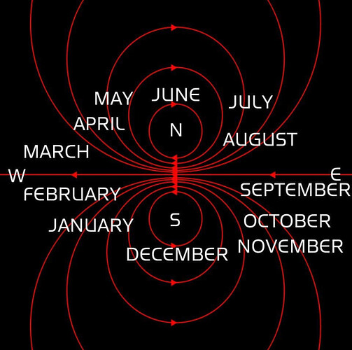
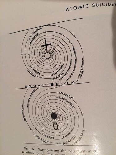
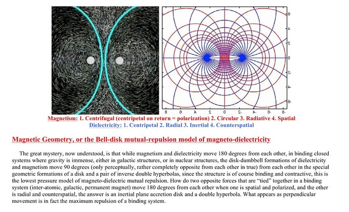
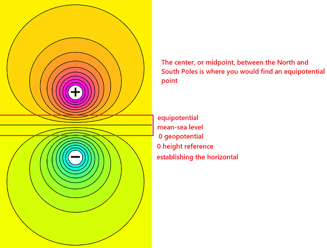
Rotating magnetic field
How does a compass work?
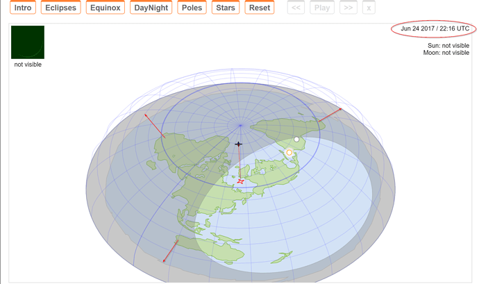
Here are some map imagery of this world.
Flight Routes - Gleason vs Dual Pole
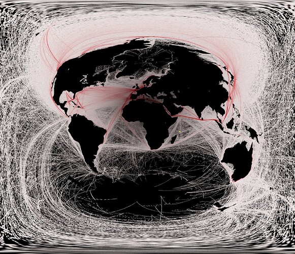
Dual Pole Shipping Routes
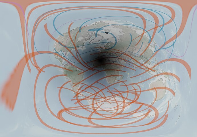
Dual Pole Saros Cycle 60
Dual Pole Leylines
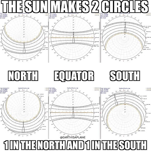
Here is the sun seasons / movement of the sun , and the sunlight patterns
Here are the star trails / stars
The stars are stereogrpahically projected over the earth. There are 2 poles of rotation, rotating opposite of each other.
That’s all for now …


